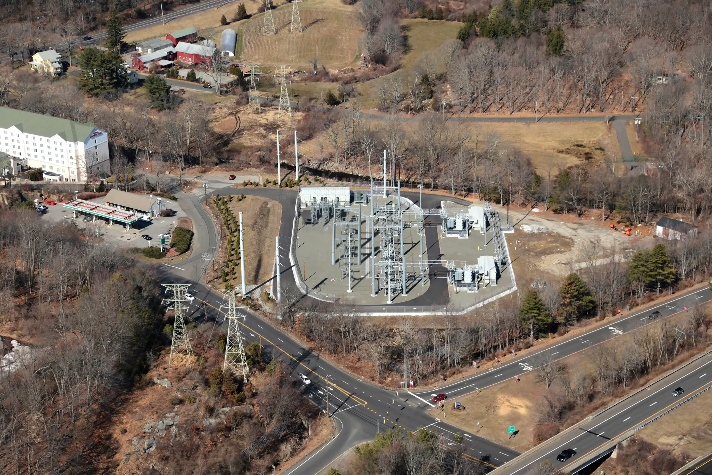
This visual simulation provides an oblique aerial image of the proposed expansion of an existing electrical substation, illustrating how additional infrastructure would integrate with the surrounding environment. The imagery was developed to clearly communicate anticipated visual change associated with new equipment, structural components, and site modifications.
Ground-level simulations were prepared from publicly accessible viewpoints to assess visibility from nearby roadways and neighboring properties. This additional helicopter-based perspective was created to provide a broader overview of the expanded facility footprint and internal configuration. Together, these viewpoints offer a comprehensive and defensible depiction of scale, massing, and overall visual impact within the established utility setting.
Drag the handle left and right to see before and after.