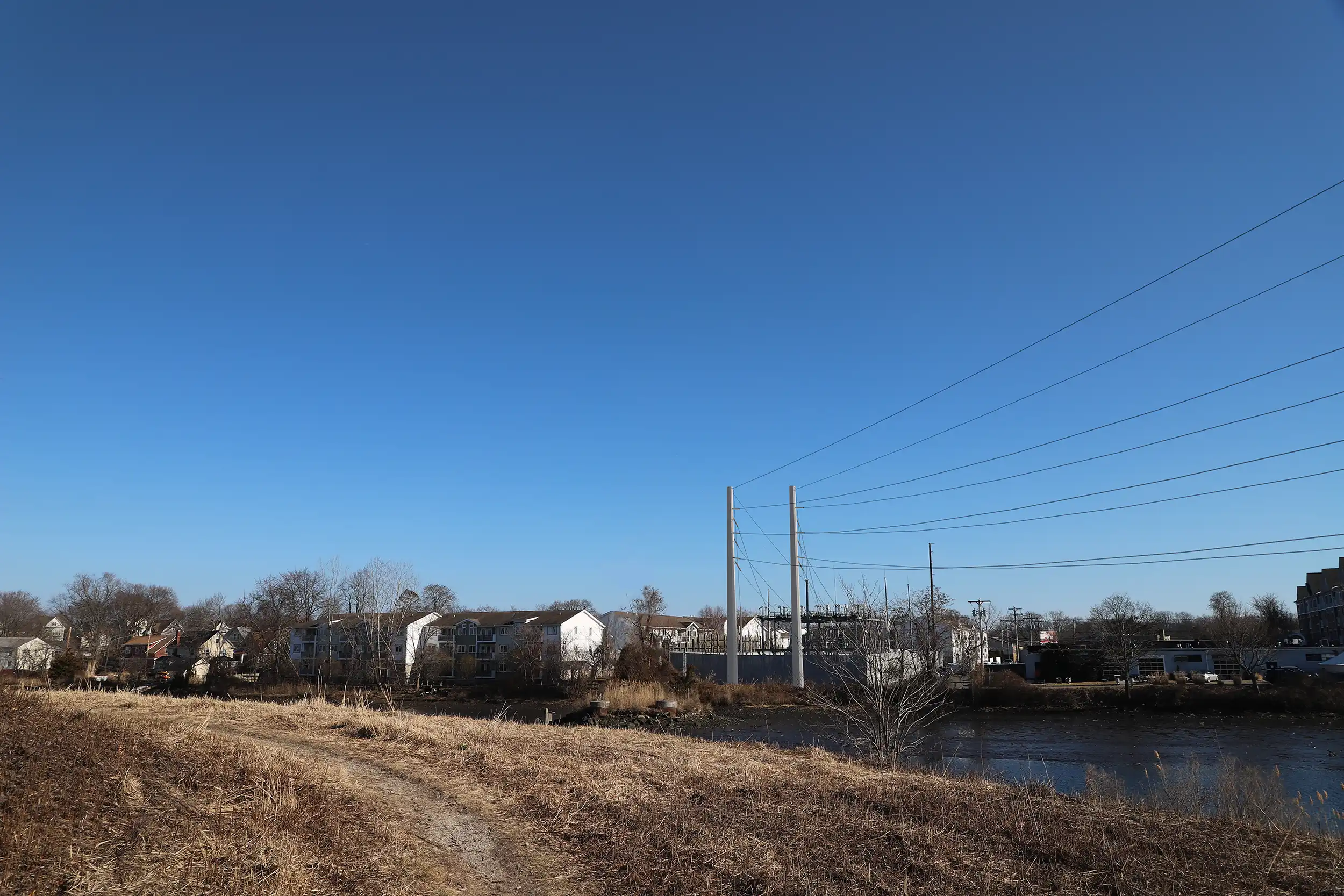
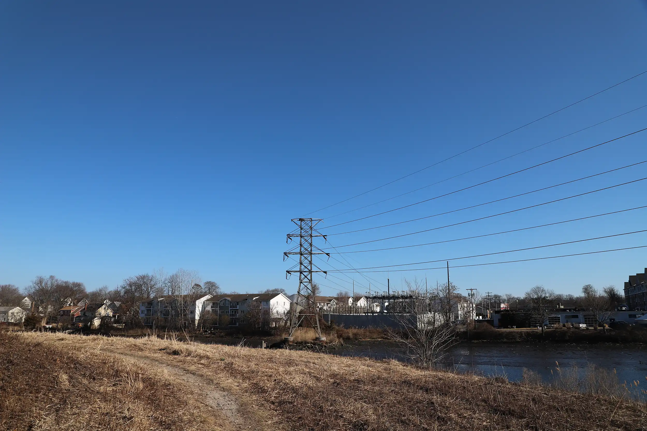
This visual simulation depicts transmission structure replacements along a river and rail corridor. The proposed condition illustrates upgraded support structures maintaining the existing crossing alignment while reflecting updated structural profiles and conductor configurations.
Imagery was developed from a representative ground-level viewpoint along the waterway to evaluate visibility from surrounding open space, rail infrastructure, and nearby vantage points. All proposed elements were integrated using confirmed dimensional and alignment data to ensure accurate portrayal of scale and spatial relationships. The simulation provides a comprehensive and defensible representation of how the upgraded transmission line would appear within the broader landscape context.
Drag the handle left and right to see before and after.