
Proposed Monopole
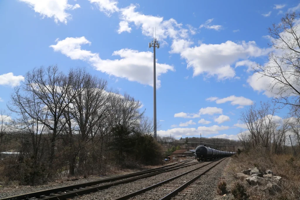
This visual simulation depicts a proposed monopole installation within a mixed residential and commercial setting. The imagery was prepared to support zoning review and community outreach, illustrating anticipated structure height, equipment placement, and visibility relative to surrounding vegetative and built features. Photographs were captured from strategic public viewpoints within the immediate vicinity of the site. The proposed monopole and […]
Proposed Monopole Extension
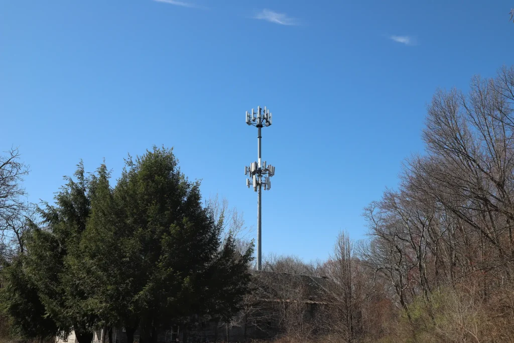
This visual simulation depicts a proposed monopole extension on an existing tower. The imagery was prepared to support zoning review and community outreach, illustrating anticipated increased structure height, and visibility relative to surrounding vegetative and built features. Photographs were captured from strategic public viewpoints within the immediate vicinity of the site. The proposed monopole extension and associated equipment were integrated using verified dimensional data […]
Proposed Unipole
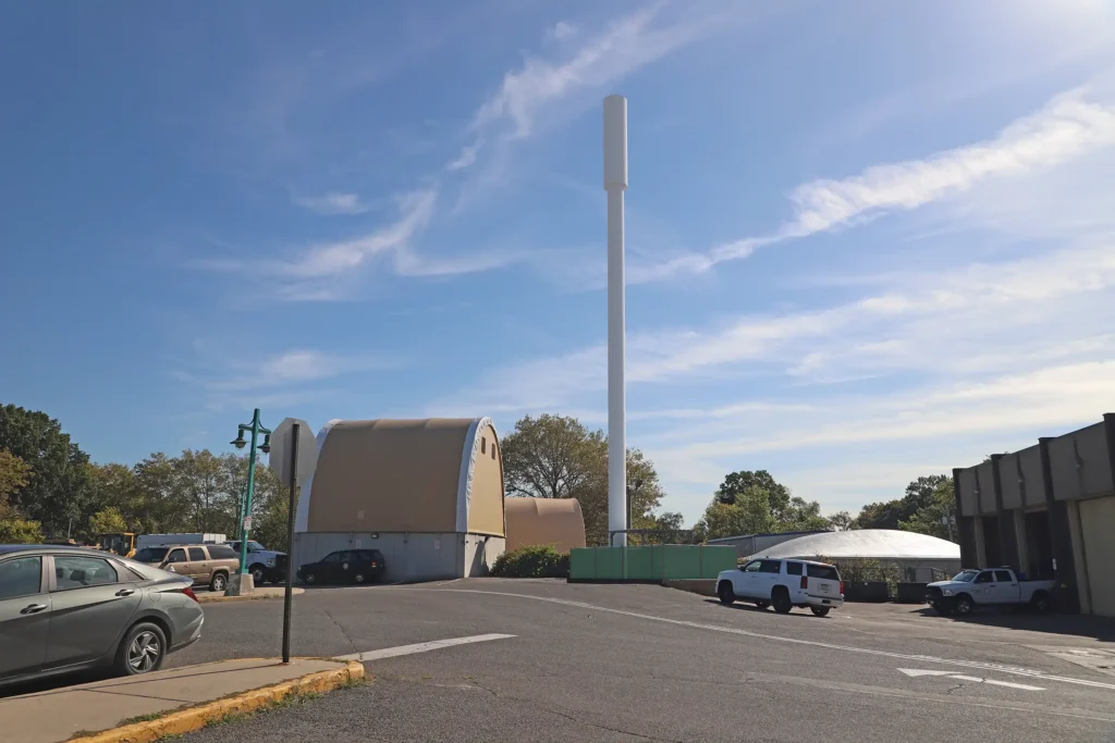
This visual simulation depicts a proposed concealed monopole installation within a mixed residential and commercial setting. The imagery was prepared to support zoning review and community outreach efforts, illustrating anticipated structure height, equipment placement, and visibility relative to surrounding vegetative and built features. Photographs were captured from strategic public viewpoints within the immediate vicinity of the site. The proposed concealed monopole and associated […]
Proposed Solar Field
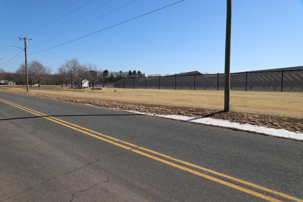
These before-and-after graphics present a comparison of a proposed solar field installation and existing conditions within a rural landscape setting. Developed to assist with environmental documentation for agency and public review, the imagery illustrates the anticipated visibility and scale of the project as it relates to the surrounding area. Field photography was conducted from publicly accessible locations identified through viewshed analysis and site reconnaissance. […]
Solar Carport
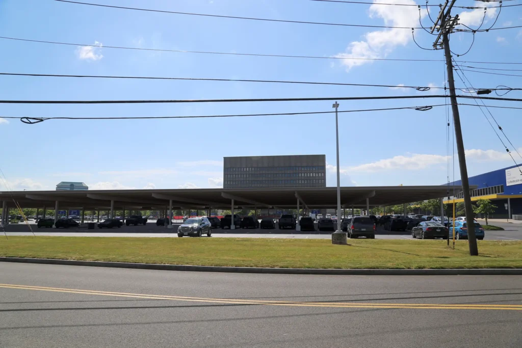
These before-and-after graphics present a comparison of a proposed solar carport installation and existing conditions within an urban landscape setting. Developed to assist with environmental documentation for agency and public review, the imagery illustrates the anticipated visibility and scale of the project as it relates to the surrounding area. Field photography was conducted from publicly accessible locations identified through viewshed analysis and site reconnaissance. […]
Proposed Solar Field
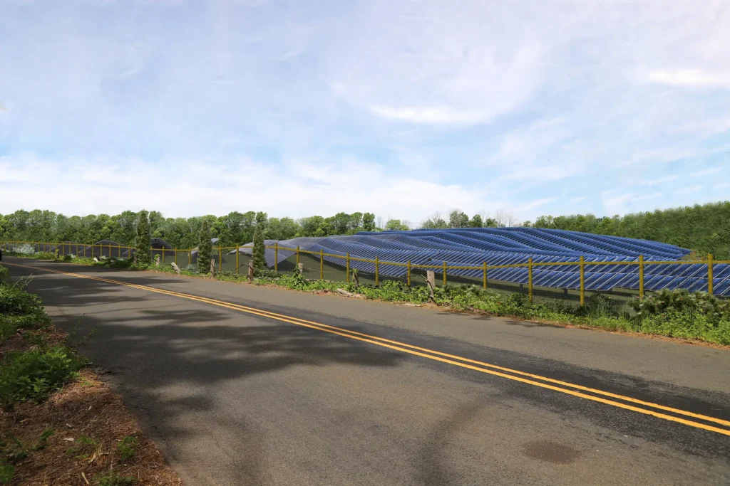
These before-and-after graphics present a comparison of a proposed solar field installation and existing conditions within a rural landscape setting. Developed to assist with environmental documentation for agency and public review, the imagery illustrates the anticipated visibility and scale of the project as it relates to the surrounding area. Field photography was conducted from publicly accessible locations identified through viewshed analysis and site reconnaissance. Proposed solar field components were […]
Proposed Fuel Cell
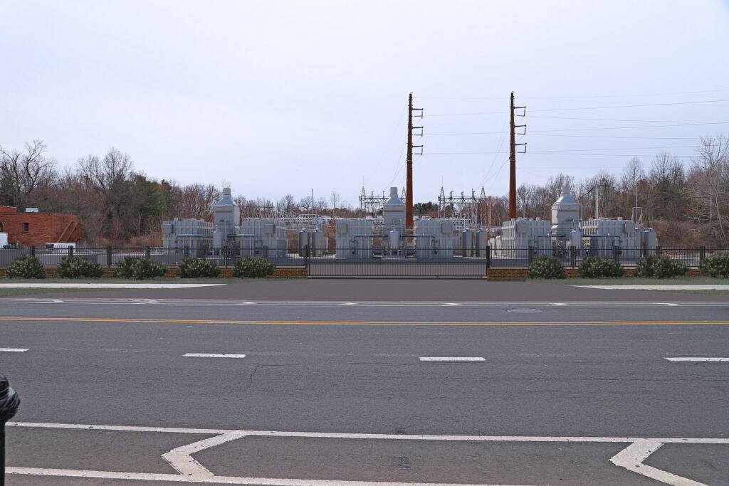
This visual simulation illustrates a proposed fuel cell installation located adjacent to an existing transmission line corridor. The imagery was prepared to depict how the new energy facility would integrate within an established utility setting, illustrating equipment scale, design elements, and spatial relationships relative to nearby transmission infrastructure. Photographs were obtained from representative public vantage points to assess visibility within the surrounding area. The proposed […]
Proposed Substation Expansion
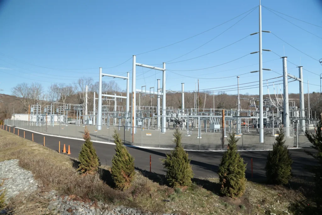
This visual simulation documents the proposed expansion of an existing electrical substation, illustrating how additional infrastructure would integrate with the surrounding environment. The imagery was developed to clearly communicate anticipated visual change associated with new equipment, structural components, and site modifications. Ground-level simulations were prepared from publicly accessible viewpoints to assess visibility from nearby roadways […]
NEW BULK SUBSTATION AND UNDERGROUND TRANSMISSION LINE
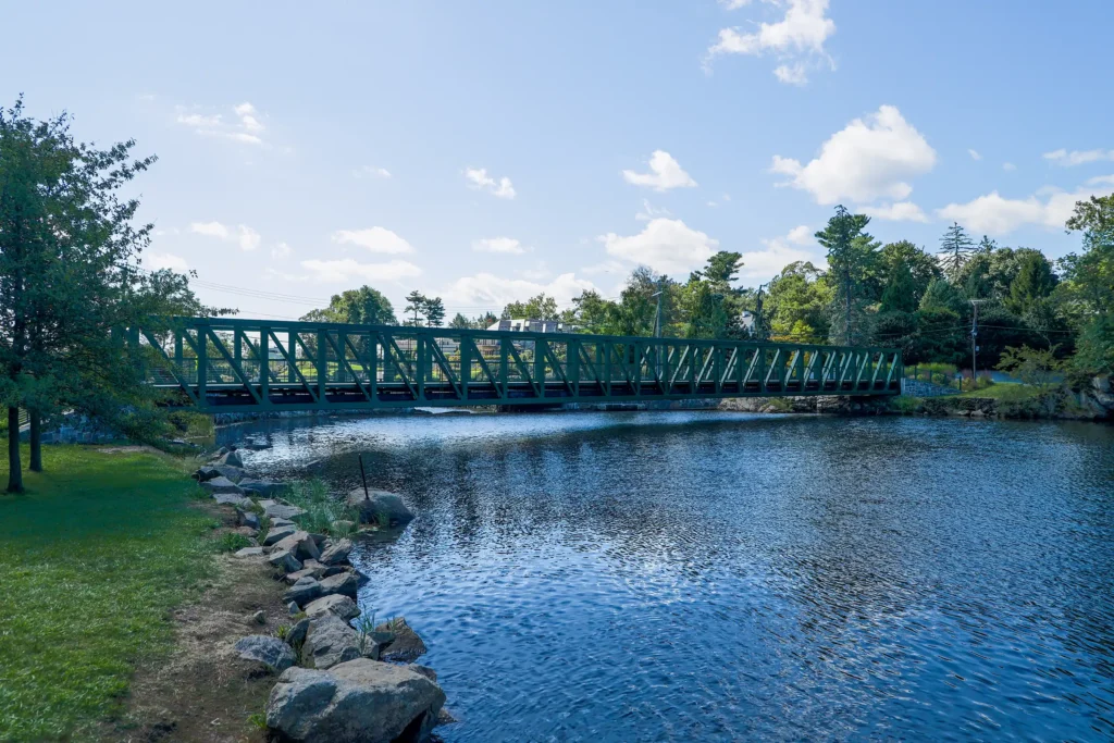
Location Greenwich, Connecticut APT provided environmental due diligence, substation site selection, routing alternatives, strategic planning, environmental, siting, permitting, civil engineering and construction support services throughout the duration of this important electric reliability Project in southwestern Connecticut. The Project required traversing Interstate 95, a Town Park and a navigable waterway. APT identified and evaluated multiple alternates […]
TRANSMISSION LINE STRUCTURE REPLACEMENTS
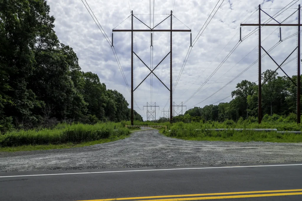
Location Central Connecticut This project involved the replacement of 248 structures within an approximate 46-mile transmission corridor and required significant access improvements, work pad repairs, demolition of existing transmission structures, upgrades of Optical Ground Wires, and post-construction restoration. APT assisted its client in planning and permitting the project by performing Connecticut and Federal wetland delineations; […]